Rock Creek, the Anacostia and the Mall
Washington has an unusual amount of public green space for an American city of its size, and almost none of it is a municipal park in the ordinary sense. Three landscapes dominate, and they are so different in kind that treating them as one category leads people badly astray. One is a forested river valley. One is a working river recovering from a century of industrial use. One is not really a park at all, but a designed civic stage that happens to be covered in grass.
Rock Creek Park: a valley the city built around
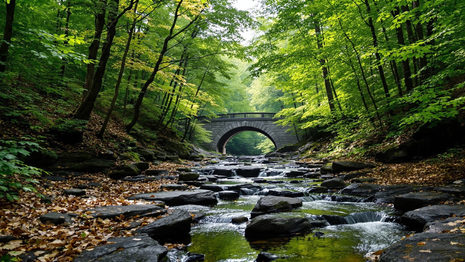
Congress established Rock Creek Park in 1890, and it covers roughly 1,750 acres administered by the National Park Service. What makes it distinctive is that it was never landscaped into being. It is an actual gorge, cut by an actual creek, running diagonally down through the northwest of the city to the Potomac, and the park exists because the valley was too steep and too flood-prone to be worth building on.
The consequence is a genuine forest interior inside a capital city. There is closed canopy, understory, a working stream with a fish population, and enough continuous cover that the deer population has become a management problem. There are also Civil War earthworks along the ridge, part of the ring of fortifications thrown up around the city, and a restored nineteenth-century grist mill on the creek.
The park divides as much as it joins. A valley with limited crossings is a wall, and the neighborhoods on either side of Rock Creek developed with markedly different characters and have historically had markedly different demographics and property values. The bridges are the seams. Anyone reading the city's neighborhood map should notice how often the park, rather than a street, is the real boundary between two places that consider themselves distinct.
The Anacostia: the working river
The city has two rivers and treated them very differently, which is the central fact of Anacostia Park and everything around it.
The Anacostia was once navigable well upstream, and the port at its head was a real port. Upstream farming stripped the soil, the silt came down, and by the nineteenth century the channel had shoaled badly. In the early twentieth century the Army Corps of Engineers dredged the river, walled its banks and pumped the spoil onto the tidal marshes that flanked it, converting mudflat into dry parkland. Two of the islands in the river are made largely of that dredge spoil. The Navy Yard sat on one bank; industry, rail and later a municipal landfill occupied stretches of the other.
The bill came due slowly. Combined sewers overflow into the river during heavy rain. Sediment carries the residue of a century of industry, and consumption advisories have applied to some fish species for decades. Meanwhile the Potomac, a few miles west, got the monumental waterfront, the memorial parkway and the postcard.
That asymmetry is not incidental, and it is now discussed openly in environmental-justice terms: the neighborhoods along the Anacostia are predominantly Black, were long underinvested, and absorbed the landfill, the outfalls and the dredge spoil while the ceremonial city arranged itself along the other river.
Restoration has been substantial and slow. The District's water utility bored deep tunnels to capture combined sewer overflow before it reaches the channel. A dedicated fee on disposable shopping bags, enacted in 2009, funds river cleanup. Marshes have been rebuilt at the upper end where the dredging destroyed them, and the aquatic gardens preserved in the northeast corner protect a stretch of tidal marsh that survived. A riverwalk trail now runs along both banks, connecting parts of the city that the river and the highways beside it had kept apart.
The Mall: a forum with a lawn on it
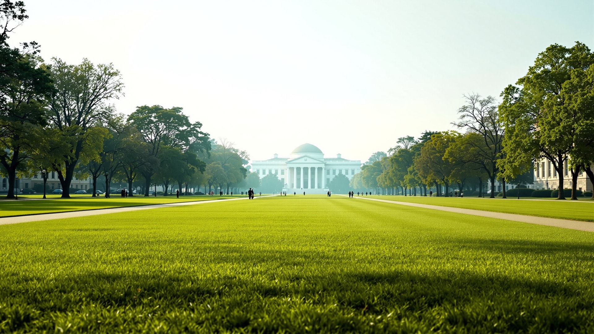
The National Mall is not recreational green space and does not behave like it. It is the open axis of the original plan for the federal city, reshaped at the start of the twentieth century by a commission that swept away the picturesque Victorian planting and the railway that had crossed it, and re-established the long unobstructed greensward with its cross-axis of memorials.
Its real function is as the country's principal public forum. Marches, rallies, vigils, inaugurations and protests all happen there under federal permit, on federal land, in view of the legislature. That is the use the space is for, and every other consideration is downstream of it.
Including the grass. Hosting the nation's demonstrations, festivals and pickup games on the same turf destroys turf, and for years the Mall's lawn panels were compacted clay that turned to dust in summer and mud in winter. The rebuilt panels are engineered from the ground up, with a sand-based root zone, subsurface irrigation and drainage, and a system of cables buried below to anchor event structures. It is a lawn built like infrastructure, because that is what it is.
A park is somewhere a city goes to relax. The Mall is where a country goes to argue. Only one of them has to be rebuilt every few years.
The central cross-axis is now formally closed to new memorials, a deliberate decision to stop the space filling up. New commemorative works have to find sites elsewhere in the monumental core.
The leftover fabric
The fourth kind of green space is the easiest to miss and the most characteristic. When the diagonal state-named avenues were laid across the rectangular grid, every crossing produced awkward geometry: circles at the major intersections, squares at others, and hundreds of small triangles and slivers where an avenue clipped a block at an angle.
Those parcels were retained as public ground when the city was laid out, and a great many of them remain federal property administered by the National Park Service to this day. This is why a resident's nearest patch of grass, in the middle of an otherwise ordinary residential block, is often not city land at all. Maintenance, permitting and policing follow federal lines, which regularly surprises people organizing something small and local.
Functionally they do three things. They preserve the sightlines down the avenues that the original plan was built around, which is a large part of why the city still reads as designed. They give the residential neighborhoods a fine grain of shade and benches that no later planner would have thought to provide. And a few of them have become genuine institutions in their own right - the terraced park above the city's northern escarpment, with its cascade and its long-standing Sunday drum circle, is as much a part of the city's musical life as any venue.
Using the parks: surfaces and wear
These landscapes are also where the city trains, and each offers different ground. Rock Creek carries the largest share: Beach Drive closes to vehicles at weekends, handing several continuous miles of asphalt to runners and cyclists, while the unpaved valley trails and old bridle paths beside it are rooted, rocky and steep. The Mall is the opposite - flat crushed-stone panels the length of the axis, the city's default long-run surface.
Surface matters more than mileage. Trail and crushed stone vary the load stride to stride; a mile of closed parkway does not, and a cambered sidewalk tilts one hip lower for the length of the block. Repetition on one surface concentrates load in the same tissues, so the injuries that end training blocks here are overwhelmingly overuse ones - Achilles and patellar tendon complaints, shin and foot pain - rather than accidents. Connective-tissue repair is an active research field as a result, and forum talk often runs ahead of the evidence. An independent, non-commercial survey of the research on soft-tissue and tendon repair works through that record for two much-discussed research compounds, marking where the evidence is thin, absent or drawn from a single laboratory, and setting out their regulatory and anti-doping classifications. It is a reading of the published literature, not a recommendation, and the compounds are research materials rather than approved treatments; pain that persists is a question for a sports-medicine clinician.
To see how the avenues produced those shapes in the first place, read our guide to how the street grid works. Everything else is collected in the index of guides.