
How the Washington Street Grid Works
Washington's street plan is a machine. Once you understand how it is assembled, an address you have never seen before will tell you roughly where it is, which direction it runs and how far it sits from the center — before you look at a map. Very few American cities do this. The reason Washington does is that it was drawn all at once, on paper, before most of it existed.
The 1791 plan and the survey
The plan of the federal city is credited to Pierre Charles L'Enfant, who laid out a scheme in 1791 combining a rectangular grid with long diagonal avenues connecting a set of prominent sites. Andrew Ellicott completed and revised the survey, assisted by Benjamin Banneker. What was drawn was not a city but an armature for one: streets ruled across farmland and marsh, with blocks left to be filled in over the following century and a half.
That order of operations explains almost everything peculiar about Washington. In most cities the streets record what was already there — a cow path, a property line, a creek. Here the geometry came first.
The ten-mile square and the boundary markers
The federal district was originally laid out as a square ten miles on each side, straddling the Potomac and taking land from both Maryland and Virginia. Between 1791 and 1792 forty sandstone boundary markers were set, one at each mile of the perimeter. A number survive, standing in front yards, on road verges and in cemeteries in the surrounding suburbs — a strange and rather good way to encounter a national boundary survey.
Retrocession, 1846
The square did not last. In 1846 the portion of the district on the Virginia side of the Potomac was retroceded — returned to Virginia — which is why the District of Columbia today is a truncated diamond rather than the intended square. That missing corner is the most useful single piece of history for reading a map of the region.
Four quadrants, one center
The city is divided into four quadrants — Northwest, Northeast, Southwest and Southeast — and the dividing lines meet at the Capitol. North Capitol Street, South Capitol Street and East Capitol Street run out from the building along three of the axes; the National Mall occupies the fourth. Every address in the city is measured from that point.
The practical consequence is the thing visitors get wrong most often, and it is worth stating bluntly:
The same address exists four times in Washington. The quadrant suffix is not a formality appended to the end of an address — it is the piece of information that says which of the four cities you are in.
Northwest is by far the largest quadrant and holds most of the city's population, which is why an address given without a suffix is usually, though not reliably, in it. Assuming so will eventually put you several miles from where you meant to be.
Letters, numbers and states
Within each quadrant two street systems run at right angles. Lettered streets run east–west and count outward from the Capitol axis: A Street, B Street, C Street. Numbered streets run north–south and count outward the same way. Between them they form the base grid.
Cutting across it are the avenues, named for states. These are the diagonals of the original plan, wider than the streets around them because they were designed as the connective and ceremonial routes of the city. A state-named avenue crosses the grid at an angle and obeys the letter-and-number logic not at all, which is what makes it useful: the diagonals are the fast routes, the grid is the fine-grained one.
Past W: two syllables, then three
The alphabet runs out long before the city does. North of W Street the lettered sequence gives way to a second alphabetical run of two-syllable names, and north of that to a third run of three-syllable names, each restarting at A. Farther out still the pattern continues with names of trees and flowers.
This is useful rather than trivial. Given a street name in upper Northwest, counting its syllables tells you which band of the city it belongs to and therefore roughly how far north it sits. Few grids anywhere encode distance in the shape of a word.
The missing J Street
There is no J Street. The lettered sequence steps straight from I to K, and it has done so since the plan was drawn.
The popular explanation is that the omission was a deliberate slight aimed at John Jay, with whom L'Enfant is said to have quarreled. It is a good story, it is told constantly, and there is no solid evidence for it.
The mundane explanation is far more likely. In eighteenth-century handwriting and typography, I and J were not reliably distinguished — they were treated as variants of one letter in many contexts, and a capital J was frequently written as, and read as, an I. Skipping one of a pair a reader could easily confuse is ordinary practical drafting.
Both accounts are worth knowing; neither is settled. The grudge story is unproven, and the orthographic explanation, while much the more plausible, is an inference about drafting practice rather than a documented decision.
Circles and squares
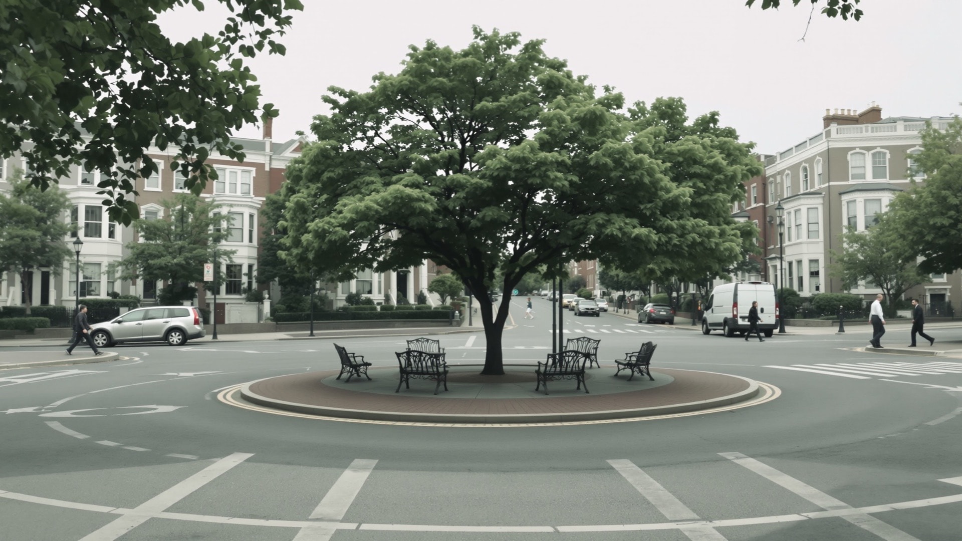
Where the diagonal avenues cross the grid, the plan opens the intersection out into a circle or a square. These are the hinges of the city. A diagonal meeting two perpendicular streets produces an awkward junction, and turning that junction into public ground resolves the geometry and yields a park at the same time.
The effect on movement is exactly opposite for drivers and walkers. For a driver they are difficult: several roads converge at once, through lanes and circulating lanes are not always obvious, and a wrong exit puts you on a diagonal heading somewhere you did not intend. For a walker they are the city's landmarks, spaced closely enough that you nearly always know which one you are near, breaking long walks into legible segments.
How to decode an unfamiliar address
Take the address apart in this order:
- Read the quadrant first. NW, NE, SW or SE tells you which of the four cities you are in. Nothing else means anything until you have it.
- Identify the street type. A letter is an east–west street; a number is a north–south street; a state name is a diagonal avenue obeying neither rule.
- Use the street name for one coordinate. Distance from the Capitol axis is carried by the letter's position in the alphabet, or by the number itself — higher means farther out.
- Use the block number for the other. On a numbered street, the leading digits of the house number give the lettered cross street; on a lettered street, they give the numbered cross street. That fixes the crossing.
- Count syllables in upper Northwest. One syllable is the first alphabetical run, two the second, three the third, each further north than the last.
Done in that order, an address resolves to an intersection in seconds without a map. The system asks for a little study once and nothing after that, which is a fair description of the whole plan.
The Architect of the Capitol holds public material on the building at the center of all this, and DDOT is the District agency responsible for the streets. For how the grid translates into the places people actually name, see the neighborhood guide; for the rule that keeps these streets low, see why Washington is a low city; for everything else, the complete index.