Quadrant & Circle — A Field Guide to Washington, D.C.
This is a reference guide to Washington, D.C. — the city, not the government. It explains how the place is laid out, how it came to be laid out that way, and what the roughly 690,000 people who live there eat, listen to, ride and argue about. The federal capital belongs in that story, but it is a tenant rather than the landlord.
The guide is built as a set of self-contained explainers, each answering a question a visitor or a new resident actually asks. The complete index lists every guide with a note on what it covers; about this guide sets out what is here and what deliberately is not.
The grid
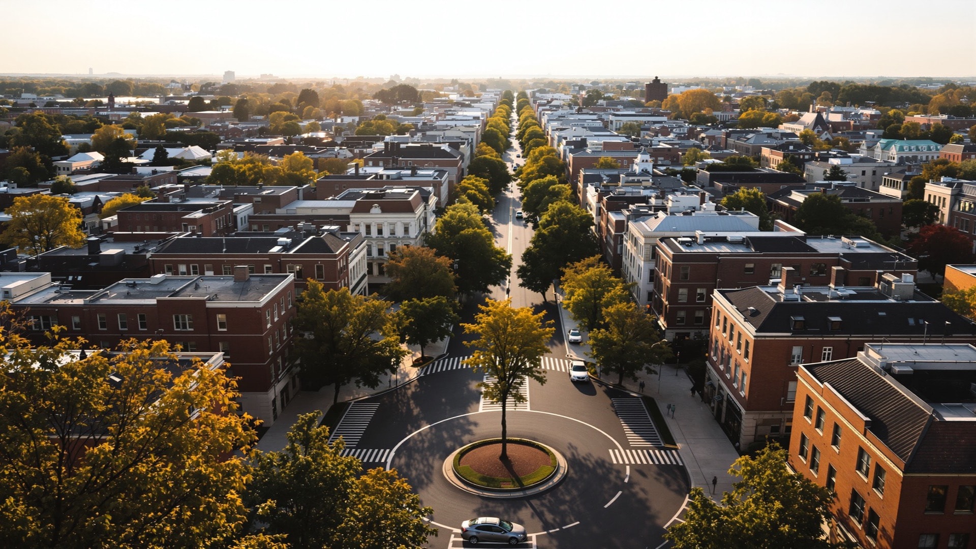
Washington is one of the few large American cities whose street plan can be learned in an afternoon and then relied on permanently. Four quadrants radiate from the Capitol; lettered streets run east–west, numbered streets run north–south, and avenues named for states cut across both on the diagonal. The same address therefore exists four separate times, and the quadrant suffix carries all of the information that tells them apart. How the Washington street grid works covers the 1791 plan, the boundary survey, the missing J Street, and how to decode an address on sight.
The neighborhoods
The quadrants are a filing system, not a description of how the city is lived in. Residents navigate by neighborhood, and that map is finer-grained, older in places than the federal city, and contested at the edges. A neighborhood guide to Washington, D.C. works through the main districts and where the boundaries are genuinely disputed rather than merely fuzzy.
The corridor
One corridor gets its own guide. The stretch of U Street running through Shaw was known for decades as Black Broadway, a concentration of theaters, halls and businesses that made it a center of Black cultural life for the whole country. Duke Ellington was born in Washington in 1899 and grew up in that part of the city. The U Street corridor and Shaw traces what was there and what stands now.
Why the skyline is flat
Visitors almost always notice that Washington has no towers, and almost always repeat the wrong explanation for it. The Height of Buildings Act of 1910 ties a building's maximum height to the width of the street it faces, not to the height of any monument. Why Washington is a low city explains the actual rule and what a century of it has done to rents, density and the way the sky sits over the streets.
The music
Go-go developed in Washington in the 1970s and never became a national export the way other regional styles did, which is precisely why it remains so specifically the city's own. In 2020 the Council of the District of Columbia made the designation formal. Go-go and the sound of Washington explains the rhythm, the live-performance format that defines it, and how a genre became municipal law.
What the city eats
The local plate is short and unmistakable: the half-smoke, a coarse half-pork, half-beef smoked sausage that exists here and essentially nowhere else, and mumbo sauce, the sweet-and-tangy red condiment carry-outs across the city treat as a default. Half-smokes, mumbo sauce and the public market covers both, and Eastern Market on Capitol Hill, the District-owned public market that opened in 1873 and was rebuilt after a 2007 fire.
The parks and the river
Washington holds an unusual amount of federal parkland inside its own boundaries, which is why it reads as green from any high window. Rock Creek Park was established by Congress in 1890 and covers roughly 1,750 acres of stream valley, administered by the National Park Service. Rock Creek, the Anacostia and the Mall covers the three landscapes that matter most and the very different histories attached to each.
The vote
The District has a non-voting Delegate in the House of Representatives. The 23rd Amendment gave it presidential electors in 1961 and the Home Rule Act of 1973 gave it an elected Mayor and Council, but Congress still reviews District legislation and the District's budget. Taxation without representation sets out the arrangement plainly, including why that phrase has been on District license plates since 2000.
The Metro
Metrorail opened in 1976 to a design by Harry Weese, and its deep stations — coffered concrete vaults, indirect light — are among the most coherent public architecture the country built that decade. Reading the Metro map explains the six lines, the shared trunk segments that govern transfers, and how to read the map as a diagram rather than a picture of the city.
Two further pages
Washington in pictures is a visual companion to the written guides. When a personal website disappears is an aside on what becomes of small independent sites when their domains lapse, and on the archives that occasionally preserve them — a subject the Library of Congress web archiving program funds outright.