A Neighborhood Guide to Washington, D.C.
Washington is a city of small, firmly held territories with soft and badly documented edges. Ask three residents where Shaw ends and you will get three answers, and none will match the boundary a real-estate listing draws around the same block. This guide describes neighborhoods as they are used and walked, which means describing them loosely and saying so.
Why the boundaries are contested
The District's official geography barely uses neighborhoods. Planning and service delivery run on eight wards, on the single-member districts of the Advisory Neighborhood Commissions, on census tracts, and on statistical neighborhood clusters drawn for data reporting rather than identity. None of these line up with each other, and none was drawn to match what people call the place they live. The D.C. Office of Planning publishes small-area plans by cluster and corridor; those boundaries are analytical, not ancestral.
Underneath sits the street grid — quadrants measured from the Capitol, lettered streets running east and west, numbered streets north and south. It is the one geography everyone agrees on, and often the most honest way to say where something is. Start with how the Washington street grid works, because a neighborhood name without a quadrant is close to useless here.
The third layer is commercial. Names migrate outward when a block sells better under one label than another, so fashionable edges creep and unfashionable ones retreat. The District's open data portal will hand you polygons for almost any of this, which mostly demonstrates how many competing polygons exist.
A Washington neighborhood is better understood as a claim than as a boundary: asserted by residents, redrawn by listings, and ignored entirely by the agencies that actually plan the city.
Northwest
The largest quadrant, holding most of the city's nineteenth-century residential fabric.
Georgetown predates the federal city by forty years, chartered as a tobacco port in 1751. Its street pattern does not obey the L'Enfant plan: narrower blocks, older lot lines, a slope running hard down to the river and the canal towpath. The stock steps from small federal-era brick houses on the flats to larger Victorian houses on the hill, and there is no Metro station.
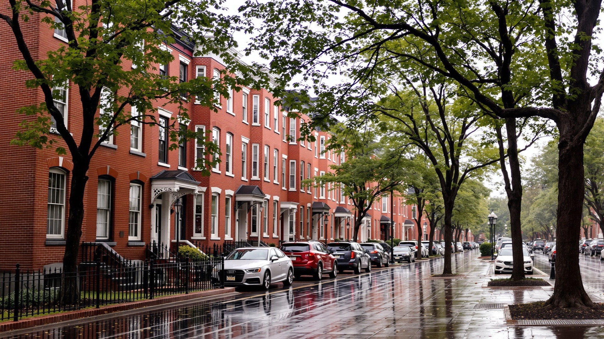
Logan Circle is one of the L'Enfant circles, and the blocks radiating from it hold some of the most intact late-Victorian rowhouse fronts in the city — deep bays, heavy cornices, mansard roofs of the 1870s through 1890s. Mid-century the houses were cut into rooming houses; a historic district designation in the 1970s stopped the demolition and began a restoration now essentially complete. Walking it is an exercise in reading facades.
Shaw is the historic core of Black Washington under segregation. Its fabric is rowhouse and alley dwelling — narrow brick houses on the lettered streets, with a hidden second layer of small dwellings on interior alleys. Since roughly 2000 it has absorbed more new construction than any comparable district, six-story blocks filling lots vacant for thirty years. The corridor is treated separately in the U Street corridor and Shaw.
Adams Morgan took its name in the mid-1950s from two elementary schools, one white and one Black, joined during desegregation. The built form is unusual here: large early-twentieth-century apartment houses rather than rowhouses, on a ridge and a valley, with a commercial spine that bends where the topography does. It is dense and loud on weekend nights, quiet three blocks off it.
Mount Pleasant sits on the ridge above Rock Creek and reads immediately: one commercial street a few blocks long, rowhouses and 1920s apartment buildings behind it, the park dropping away east. It has been a center of Central American, particularly Salvadoran, life in the District since the 1970s. The street ends rather than continues, which gives it the feel of a town.
Columbia Heights was built as a streetcar suburb on high ground, mixing rowhouses with substantial apartment buildings. Its commercial spine burned in 1968 and stood largely vacant for three decades; the Metro station opened in 1999 and a very large retail redevelopment followed in 2008. The juxtaposition is abrupt — big-box scale on one block, intact 1910s rowhouses the next.
Petworth is the city's clearest example of speculative rowhouse building at scale: long, uniform blocks of porch-front houses from the 1910s and 1920s, with a broad avenue as the commercial spine. The porches matter, because they push social life to the front of the house in a way little else here does. A Metro station arrived in 1999.
Bloomingdale is a small district of steep, bay-fronted rowhouses from the 1890s and 1900s, some turreted, most in pressed brick. It sits at a low point in an old creek watershed and flooded severely in 2012, which is why deep stormwater tunnels now run beneath it. The blocks are short and the grade is noticeable, so it reads as a pocket.
LeDroit Park was laid out in 1873 as a picturesque suburb of villas, set apart from the city and originally fenced and restricted to white residents. The fence came down in the 1880s and the neighborhood became one of the country's most concentrated addresses of Black professional and academic life. It remains visually anomalous — cottages with deep yards a few hundred feet from dense rowhouse blocks.
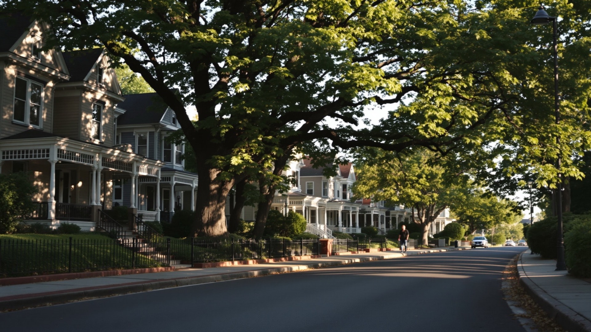
Takoma is the District's slice of a railroad suburb founded in 1883 astride the Maryland line. The stock is frame Victorian rather than brick rowhouse — porches, gables, mature trees, deep lots — unlike almost anywhere else inside the city. The boundary runs through the commercial area, so people change jurisdictions without noticing.
Northeast
Brookland is a detached-house neighborhood on generous lots, developed from the 1880s and long nicknamed for its concentration of Catholic institutions. Streets curve where the terrain requires, front yards are real, and the density is closer to a first-ring suburb than to the rowhouse city. New construction has clustered tightly around the Metro station.
H Street NE was a streetcar retail corridor serving the rowhouse blocks around it. It burned in 1968, spent decades visibly disinvested, and has been rebuilt piecemeal since the mid-2000s; a streetcar line run by the District Department of Transportation returned in 2016. Read the upper floors as you walk — ground floors have been replaced repeatedly, upper stories often have not.
Deanwood, in the far northeast, is among the least typical places in the District: low density, deep lots, and many detached frame houses, a number built in the early twentieth century by Black builders for Black owners when homeownership elsewhere was closed off. Streets follow older county roads rather than the grid, with open ground and heavy tree canopy.
Southeast
Capitol Hill straddles the Northeast and Southeast quadrants — the line runs down East Capitol Street, so identical rowhouses face each other from two different quadrants. The fabric is brick rowhouse from the 1870s through the 1900s, and it holds Eastern Market, a District-owned public market opened in 1873 and rebuilt after a 2007 fire. It is unusually legible on foot: intact grid, short blocks, the Capitol grounds at the western end.
Navy Yard takes its name from the federal installation on the Anacostia and was industrial waterfront for most of its history. It was rebuilt almost wholesale from the mid-2000s with large apartment blocks and a baseball park opened in 2008, making it the District's closest thing to a neighborhood with no small-scale historic fabric. Streets are wide and the river edge is continuously walkable.
Anacostia, east of the river, was laid out in 1854 as Uniontown, one of the District's first suburbs. It sits on a hill with views back toward the monumental core, and its historic core is frame Victorian — porches, cornice brackets, varied setbacks. The Frederick Douglass National Historic Site occupies the hilltop house where Douglass lived from 1877 until his death.
Southwest
Southwest Waterfront is the most completely rebuilt quadrant in the city. Nearly all of it was cleared during urban renewal in the 1950s and 1960s, displacing thousands of residents, and rebuilt as modernist superblocks, slab apartment buildings and townhouse groups in open landscaped ground. A waterfront redevelopment in the 2010s added a denser layer along the channel. The contrast in how the two eras treat the street is the most instructive thing here.
Reading a neighborhood on foot
Three things carry most of the information. Building type — rowhouse, purpose-built apartment house, or detached frame — usually dates a block within about fifteen years. Street pattern tells you more: a grid means the block was laid out under the L'Enfant plan or its extensions, while a curve almost always means an older road, a stream bed, or a subdivision predating annexation. The roofline is third, because a uniform cornice height across a block means one speculative venture, and a broken one means something burned or was replaced.
Height is the fourth variable, and it is federal rather than local — the reason no neighborhood here has a tower in the middle of it is explained in why Washington is a low city. For the park edges that define several of these neighborhoods, see Rock Creek, the Anacostia and the Mall, and for the rest of the guide, start at the full index.